
Watershed Maps
Printed watershed maps available
Purchase Water-Repellent Maps of the Pierce Pond Watershed
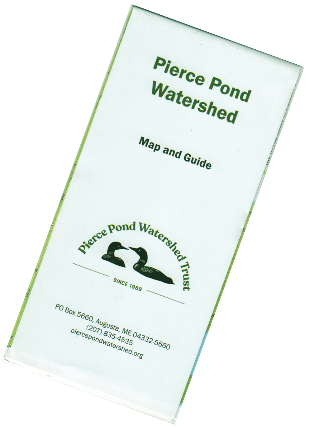
Folded Map
It had been eighteen years since the Trust first printed recreational maps of the Pierce Pond Watershed, and it was time for an update! Many Pierce-Ponders still have their trusty but tattered watershed maps among their gear—or perhaps have the flat versions hanging on their walls.
The high-contrast, easy-to-read 16” x 23” maps were created in 2022 with GIS mapping software. They include updated water depths and land elevations; camping and picnic sites; hiking trails, access trails, and trailheads; scenic overlooks, boat launches, roads and more. The back side of the map provides descriptions and enlarged maps of watershed hiking trails. The maps are printed on water-resistant paper and folded to a convenient 8” x 3.75” size.
“Where can I get one?” you are probably wondering. Maps cost $15 each and can be purchased using the order button below.
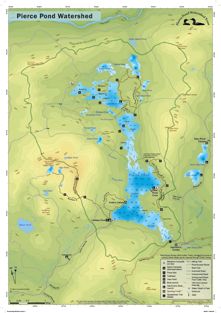
Printed Map front
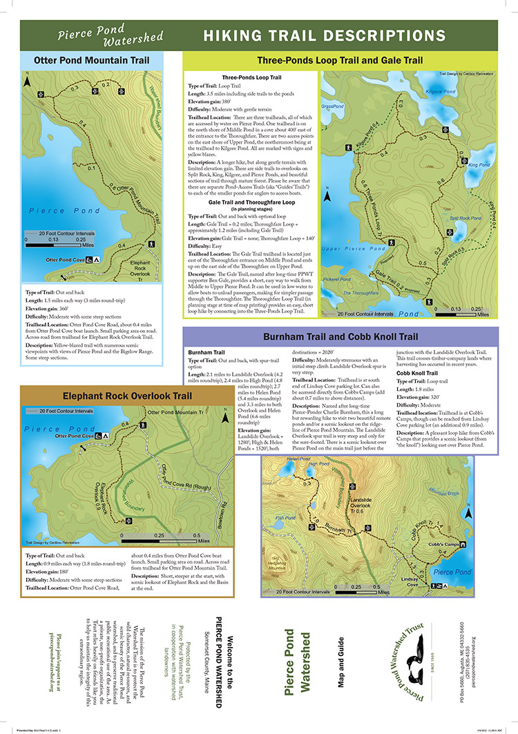
Printed Map Back
Watershed Land-ownership map
The map below shows land ownership in the Pierce Pond watershed (this map is not available as a printed map).